
St. Clair Shores Neighbor Sources
The public-record view of a St. Clair Shores block is a collection of parcels, recorded documents, civic context, and historical sources. It does not provide a household roster. Start by asking whether the question concerns a parcel boundary, a recorded conveyance, a civic program, a historical address, or election geography, then use the source designed for that question. The source label matters as much as the name or address it contains.
| Source | What It Shows About a Block | Access |
|---|---|---|
| Macomb GIS | Parcel geometry, tax ID, property address, community, legal-description links, and adjoining parcel geography | Public map, address or tax-ID search, selection, and print tools |
| St. Clair Shores Assessor and BS&A | Assessment, displayed ownership field, building facts, exemptions, and tax-related records as available | Online portal, City Hall inspection, or a narrow request to the office |
| Macomb Register of Deeds | Recorded parties, instrument, legal description, date, liens, and conveyance trail | Online search, public terminals, staff search, or mail request |
| Michigan voter lookup and Macomb Elections | Individual registration or jurisdiction-level fields through the lawful request process | Individual lookup; written county or state request, with protected fields withheld |
| City organizations listing and Mount Clemens Library indexes | Civic contacts, dated institutions, older local-name and address leads | Public organization page, library, archive, or original historical item |
The key distinction is owner of record versus occupant. A parcel or deed may identify a recorded party or tax mailing field, but it does not establish who currently occupies a place. Likewise, an old directory, voter source, or organization contact has its own date and purpose. Retain those boundaries when recording a St. Clair Shores block inquiry.
St. Clair Shores Neighbors Start With GIS
The Macomb GIS guide documents a practical address-first method for St. Clair Shores. Its Search panel supports an intersection search, tax-parcel search by full or partial tax ID, a property-address search with community autocomplete, and an all-known-address search. The guide advises omitting street suffixes such as RD, DR, AVE, BLVD, or CT when an address search does not return the expected parcel.
A selected tax ID can zoom to the parcel and open tax ID, property address, legal description, Bird’s Eye View, local tax-assessing data, and delinquent-tax-report links. The guide gives a St. Clair Shores tax-ID example of 14-22-452-004. That identifier and the legal description are stronger record anchors than a guessed relationship based on adjoining addresses.
The St. Clair Shores Neighborhood Watch source provides the civic-safety context shown below. The separate Macomb GIS User Guide documents selecting and zooming to parcels, but it does not document a radius tool or a one-click neighbors list.
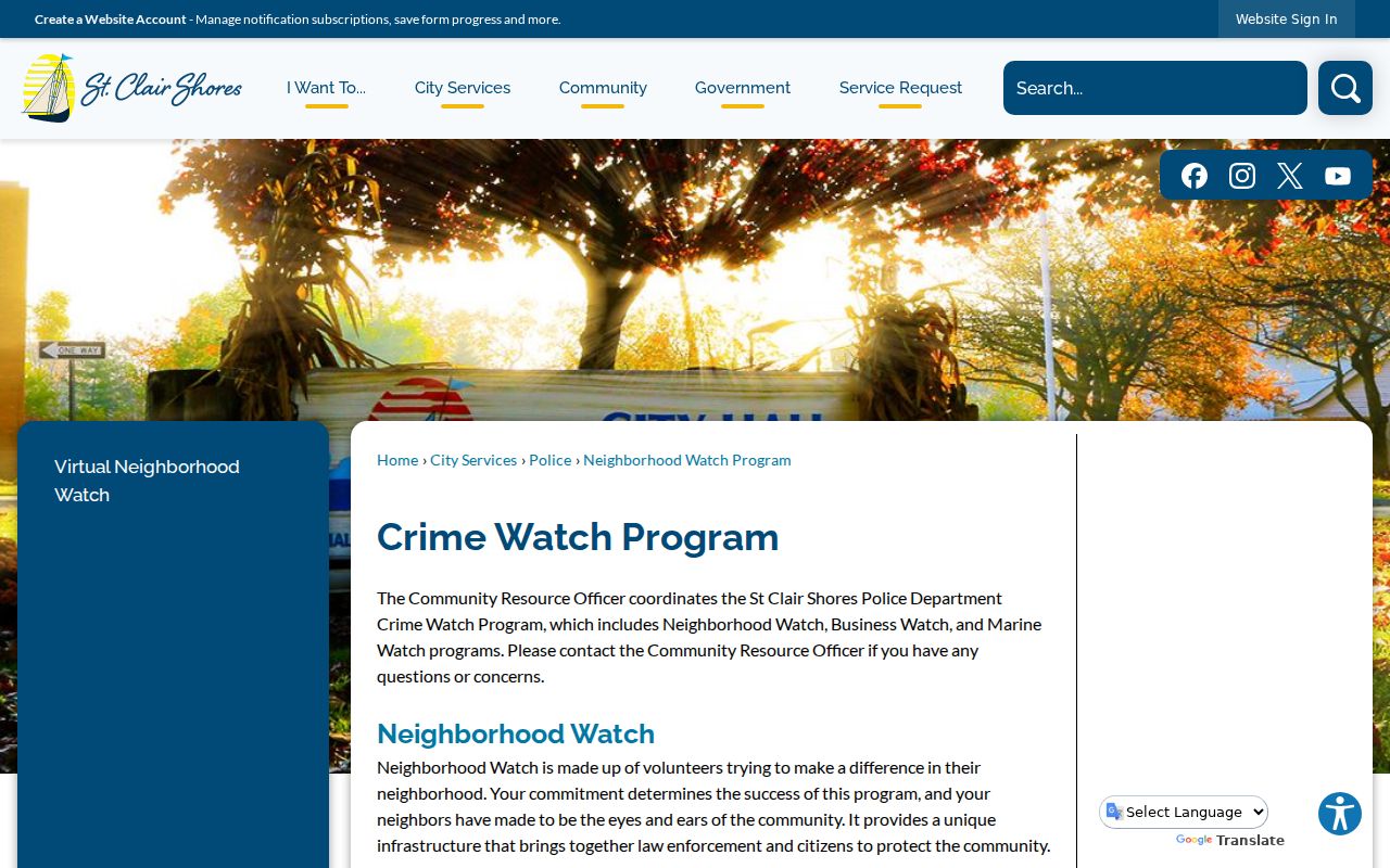
The city’s public-safety context is useful after the parcel work, not before it. St. Clair Shores describes Neighborhood, Business, and Marine Watch components, yet the program is not a directory and does not publish participant lists or camera locations.
Map St. Clair Shores Block Parcels
Map a St. Clair Shores block by moving from one verified address to the immediately adjoining parcel boundaries. The result is a research trail of parcel facts and recorded documents, not a profile of every household. Each step should retain the source URL, search date, and the exact value shown by the map or custodian.
- Search the known address, an intersection, or tax ID in Macomb GIS, and select the parcel that matches the physical location.
- Record its tax ID, property address, community, and legal description. The GIS guide also documents subdivision, plat-liber or page, and lot information where present.
- Zoom to visible adjoining parcel boundaries and select each adjacent parcel or search its visible address or tax ID. Do not assume that a nearby map label establishes a household connection.
- Use BS&A or the assessor for the current assessment and displayed ownership field, then use the Register of Deeds for a recorded instrument when that history is needed.
- Stop at the documented parcel set and state any gap. The guide did not expose a current buffer, radius, or export control for a blockwide list.
If the task becomes a record chain along a whole named road, the St. Clair Shores Street Directory explains the broader address-by-address workflow. Keep a block inquiry limited to the parcels immediately around one location.
St. Clair Shores Block Search Fields
After GIS fixes the parcel, the city-linked BS&A portal can help distinguish assessment, building, current-tax, utility-billing, miscellaneous-receivables, and all-records workflows. The public guide is a general BS&A manual, not a promise that every St. Clair Shores module has the same history or display. It is still useful because it states the real input choices for a focused parcel inquiry.
| Field or control | Use in the portal | St. Clair Shores caution |
|---|---|---|
| Address or address range | Address mode; the guide gives 100-200 Main St as an example | Advanced address search is documented, but current detailed subfields were not posted |
| Owner or name | Optional name mode, generally first and last name | A name can match several parcels and does not establish occupancy |
| Parcel number | Optional tax-parcel identifier search | Use the portal’s current parcel format |
| Utility billing account | Account or location identifier in the utility module | Utility-customer details are not a public block list |
| Building-department record number | Permit, enforcement, certificate, or project identifier | Coverage years and live result behavior were not posted |
| Service selector, search, and reset | Choose a module, search, or clear the entry | Exact labels, pagination, and export behavior need live confirmation |
The St. Clair Shores assessor says it maintains ownership changes, parcel maps and boundaries, legal descriptions, building sketches and characteristics, exemptions, tax-relief information, and 20 years of assessment rolls. A current assessment display, a tax bill, and a recorded deed remain different sources and should be described separately.
St. Clair Shores Block Geography
One address can sit inside several St. Clair Shores geographies at once. The 2025 city street index supplies current roads, precinct and school-district boundaries, voting locations, civic sites, and orientation across the 8 Mile to 14 Mile road band, Jefferson Avenue, Greater Mack, Harper, I-94, and I-696. Those are useful map facts, but they are not substitute names for a parcel community or postal boundary.
The city’s 2024 recreation planning material uses labels such as Nine-Mack Downtown, Nautical Mile Marina District, Nine Mile Corridor or Motor Mile, Poplar Beach, Civic Campus and Lake St. Clair Park, Grove Pointe, Ardmore Park, and Eastland Woods. They add historical and civic context to a block question. They do not create a legal neighborhood boundary or prove that an individual belongs to a local group.
Election geography needs the same care. Michigan’s individual voter lookup is not a casual street or block browse. A county or state voter-file request can be made for a jurisdiction under the stated rules, but sensitive information is excluded and the requester must identify the proper city, county, school district, or election district.
St. Clair Shores Neighbor Watch Sources
Public civic contacts can help a reader find a newsletter, event, oral-history lead, or commercial-district context. They do not establish who belongs to an organization. The city did not publish a citywide HOA or block-club map, a member directory, or street-level association boundaries, so the verified public listings should be used as leads rather than as a roster.
| Public community contact | What it can help locate | What it cannot establish |
|---|---|---|
| Historical Society | Local-history publications, events, and oral-history context | Private membership or a current address |
| Nautical Mile Merchants Association | Public commercial-district context along Jefferson Avenue between 9 Mile and 10½ Mile | Membership inferred from a business address |
| Community Chorus and local civic clubs | Public meeting or event context where posted | Attendance, a household link, or private contact details |
| Neighborhood Watch | City civic-safety program structure | Volunteer participation, camera placement, or a block roster |
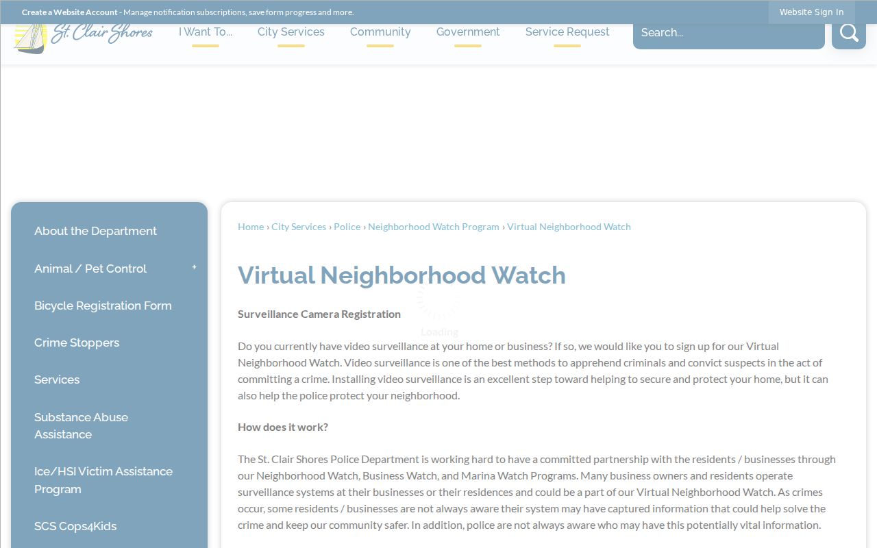
The St. Clair Shores Virtual Neighborhood Watch source says volunteers may tell police that a camera could exist and police may request a review in an investigation. It does not require access to a private system and does not make camera information public.
For an older block, the public library’s digital links and Mount Clemens indexes can add dated news, obituary, yearbook, directory, or local-history clues. Treat each historical entry as evidence of its own date, then check an original item or custodian when a detail matters.
Official St. Clair Shores Block Sources
Official sources and private commercial compilations answer different questions. The St. Clair Shores assessor, Macomb GIS, Register of Deeds, courts, election offices, city clerk, libraries, and archives identify their record type and access path. A private compilation may combine public filings, marketing data, address history, phone associations, and licensed data, often with a report charge or subscription.
| Route | Strength | Limit to retain |
|---|---|---|
| Official parcel, deed, election, court, or library source | Known custodian, named record series, and a route to verify the original | Each source has a narrow scope, dates, access conditions, and redactions |
| Commercial compilation category | May surface a lead that can be checked against an original record | Entries can be stale, conflated, incomplete, or subject to a suppression process; inclusion is not proof |
For a St. Clair Shores block question, the sound comparison is between an original record and another independent original record. A map showing adjacent parcels does not convert into a list of current occupants, and a commercial entry does not remove the need for a source date, a custodian, and a second anchor.
Privacy Limits for St. Clair Shores Neighbors
Public parcel records do not establish non-owner occupants, household members, visitors, mail recipients, utility customers, delivery data, protected voters, or motor-vehicle addresses. A community group’s contact page does not prove membership, and a dated directory does not prove a current location. Safe at Home participants use a designated address and mail-forwarding service, so an actual protected location must never be inferred, reproduced, or pursued.
When a city record is needed but not posted, make a narrow request to the custodian. The St. Clair Shores FOIA page directs city administrative requests to the City Clerk and police records to a separate police-records route. Name the record type, date range, department, address or parcel, and preferred inspection or copy format. Do not ask for all records about a person or for protected information.
Lawful use. St. Clair Shores neighbors research is for focused civic, property-history, and personal safety questions, not unwanted contact. Michigan’s stalking statute makes clear that access to a public record does not authorize harassment, intimidation, or harm.